(For more information, please visit AnnexSouthMukilteo.com.)
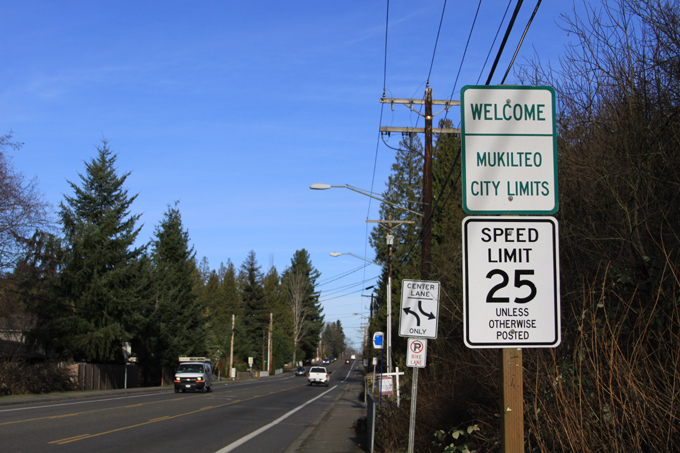
Located next to Puget Sound in Snohomish County is Mukilteo, a city of more than 20,000. First located at what is now the northern end of the city, it gradually expanded southward, and the last annexation involved the city annexing the Harbour Pointe area in 1991. To the south of the existing city limits are unincorporated areas designated by the city and county to be potential annexation areas.
In 2005, the city began studying annexing these unincorporated areas. On August 6, 2009, Snohomish County Fire District 1 filed a lawsuit against the Boundary Review Board and Mukilteo over concerns about fire service, which effectively postponed the official decision of the BRB. On April 15, 2010, Mukilteo pulled its annexation boundary request from Snohomish County. In November 2010, Mukilteo residents rejected an annexation proposal in an advisory vote.
Over the next 10 years, additional development has occurred in the unincorporated areas of Mukilteo, with much of the development being poorly designed without regard to their surroundings, and located in suboptimal locations. This will continue while these areas remain unincorporated.
Additionally, residents and businesses in unincorporated areas aren’t represented by politicians and government entities as well as those inside cities. They also have to share strained tax revenue and public resources, while not having an adequate amount of public amenities such as parks and playfields.
In June 2015, Snohomish County plans to update the zoning in the unincorporated areas as part of its 2015 Comprehensive Plan update, and several of the zoning changes would lead to more poorly located development which can become a risk to the livability and environment of these areas. Additionally, local infrastructure and transportation has not kept up with the pace of development throughout the unincorporated areas, and additional high-intensity development in suboptimal locations would exacerbate this.
To ensure current and future livability, ensure neighborly and well-placed development, and ensure adequate public services and resources in unincorporated South Mukilteo, it is imperative that these areas are annexed.
Definitions
Several definitions and information used are derived from Mukilteo’s Economic Development and Annexation Study from 2006, and are also shown here for comparison purposes.
- MUGA – Municipal Urban Growth Area; unincorporated areas which are intended to be annexed by their specified city
- Western MUGA – The area west of Mukilteo Speedway and State Route 99
- Paine Field MUGA – The area south of Paine Field and between Mukilteo Speedway & Beverly Park Road
- Eastern MUGA – The area east of Mukilteo Speedway & Beverly Park Road, and west of Airport Road & State Route 99
- Lake Stickney Gap Area – The area east of State Route 99
- Meadowdale Gap Area – The area south of 148th Street SW, west of 52nd Avenue W, and north of Meadowdale County Park
Picnic Point consists of the western half of the Western MUGA. Lake Serene consists of the eastern half of the Western MUGA, as well as areas west of Beverly Park Road currently in Mukilteo.
Fairmount consists of the entire Eastern MUGA and most of the Paine Field MUGA, except for the commercial strip along Mukilteo Speedway in Harbour Pointe.
The Lake Stickney and Meadowdale Gap Areas, as well as some land in the Paine Field MUGA, were removed from annexation consideration by 2008. Paine Field does not want some of its land annexed, and the Meadowdale Gap Area is in Lynnwood’s MUGA. Mukilteo decided that annexing Lake Stickney would not be feasible.
Current Development

Azi Lee Estates, a 62-home development under construction in Lake Serene
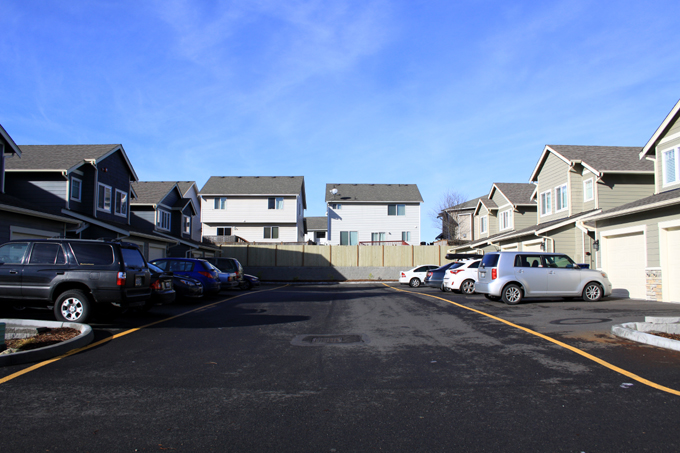
Picnic Point and Lake Serene largely consist of single-family housing, and has duplexes and detached condos scattered throughout. There is a slightly larger proportion of small multifamily development in Lake Serene, such as duplexes and townhouses. The area is largely already developed, and most of the recent development has been limited to smaller infill projects.
Western Fairmount (Paine Field MUGA) is predominantly industrial, with some commercial along Mukilteo Speedway. There are a few remaining older homes in the area, with some along Mukilteo Speedway currently being used for small retail. These homes are expected to be redeveloped into commercial and industrial uses in the long-term.
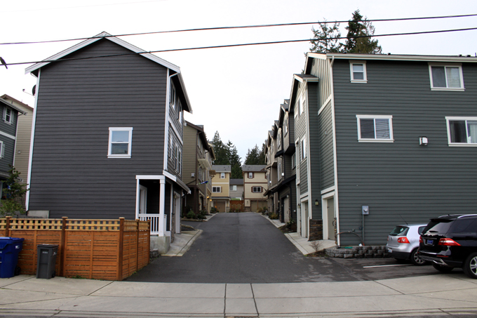
Recently-built townhouses in the foreground & detached condos in the background in Fairmount
In the rest of Fairmount (Eastern MUGA), the development consists of houses, attached and detached condos, duplexes, mobile homes, apartments, and other multifamily structures. Many of the homes were built within the last 15 years, and due to zoning codes much of the newer development consists of detached condos and duplexes. Much of the land at the northern end near Paine Field is zoned for industrial, and remains undeveloped due to industrial land being in less demand compared to residential land. Commercial properties are found along Airport Road and State Route 99.
Development Problems
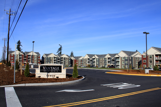
The Vantage, Fairmount
Proper development cohesive with its surroundings can be beneficial to a community, but improper development can be divisive to a community, lead to opposition to any new growth, and negatively impact livability for area residents. It can also lead to opposition to needed improvements such as increased transportation infrastructure or public amenities, due to concerns that they would facilitate more improperly designed and placed development.
Recently in Fairmount, a 201-unit apartment complex named The Vantage was completed on Mukilteo Speedway south of Beverly Park Road, and a 251 to 280-unit complex named Axis Apartments is currently under construction on State Route 99 south of Airport Road. Both complexes consist of 4-story income-restricted apartment buildings and upon completion, around 27% of homes and 37% of residents in Fairmount would be in just these two complexes.
The Vantage & a nearby creek on York Road, Fairmount (The camera was pointed upward, and the slope is much more pronounced than shown in the photo)
Both complexes are arguably poorly placed and are too dense for their surrounding areas. The Vantage includes a large retaining wall at the northeastern edge of the complex because some of the buildings were built on a steep slope. Not only does this negatively impact the property owners near the bottom of the wall, there is a creek near the bottom as well. Axis Apartments is too dense at its location because it is not a neighborhood center, regardless of the Urban Center (UC) zoning applied by the county. Additionally, residents would have to deal with quality of life issues nearby on State Route 99 north of Airport Road, especially since the complex would be directly next to State Route 99.
While the availability of affordable housing is an issue in the Seattle area, planners must keep in mind that development impacts should not be ignored or exempted in order to accommodate affordable housing. In fact, an affordable housing development generally causes more impacts than an equivalent market-rate development. For example, the large spike in number of residents from these developments would put significant strain on the Mukilteo School District, which is already dealing with school capacity shortages. At the same time, the added tax revenue per new student would be lower than the current tax revenues per student living in the surrounding homes.
Large amounts and dense concentrations of affordable/low-income and lower-rent housing should be avoided, because they lead to higher crime rates and an unhealthy mix of income levels, which negatively impacts neighborhood livability. It follows that large low-income apartment complexes should be avoided because they have more crime issues and an unhealthy mix of income levels compared to a standard apartment complex, negatively affecting desirability in surrounding homes. Both The Vantage and Axis Apartments are rather dense concentrations of low-income housing, and combined with some other housing types in Fairmount this can lead to long-term neighborhood issues.
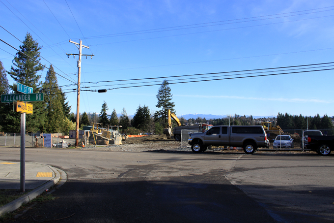
Axis Apartments; 119th Street SW & Alexander Road, Fairmount
Also in Fairmount, the northern end is mostly zoned for industrial development, with the residential area wedged between it and the commercial/industrial development along Airport Road. Additionally, some industrial traffic has to drive through residential areas due to the zoning and street layout, such as on 119th Street SW. The commercial stretch along Airport Road and State Route 99 has some businesses and developments which are not desirable near residential areas. Additionally, there are crime issues along State Route 99 not limited to the stretch on the eastern edge of Fairmount, partially the result of the commercial developments.
There are several ecologically sensitive areas in the unincorporated areas which can be negatively affected by denser development. Land in the gulch along Picnic Point Creek may be developed into Frognal Estates (formerly Horseman’s Trail), and the project has significant opposition by the surrounding neighborhood. Residents living around Lake Serene are concerned that denser development is causing flooding during heavy rains. Fairmount has two creeks running through it, but nearby denser developments may negatively affect the health of the creeks, with one case being The Vantage and its retaining walls.

Serene Heights, an LDMR detached condo development in Lake Serene
One form of development seen in unincorporated areas throughout Snohomish County are detached condos, nicknamed “air condos” due to the fact that homeowners only own the space inside them and not the building and land. While they look like houses, they legally are condominiums. They are easily differentiated from standard single-family developments by having the condos along a two-lane access driveway with no street parking, often with no curb or sidewalk. Setbacks are at a minimum, so they are generally built close to each other at the expense of most yard space.
These homes are built in multifamily zones such as Low Density Multiple Residential (LDMR) and Multiple Residential (MR). In many cases they are built in single-family residential zones which have been “spot rezoned” into LDMR. The Seattle Times published an article in 2007 about the controversy over detached condos, and the conflict between cities, the county, and residents living both in and around these homes.

Lake Serene Vista, an MR detached condo development in Lake Serene
While the detached condos built in LDMR zones are more similar in design and layout to single-family houses, the ones built in MR zones are largely poorly designed as a result of lax county building codes. Driveways, backyards, and frontyards are largely nonexistent, and there’s often little space for larger plants compared to less dense houses and more dense townhouses.
Lake Serene Vista
Snohomish County Fire District 1 is against detached condo developments, due to the narrow access driveways serving these developments and the closeness of the buildings being potential safety hazards. However, their preventing the annexation of unincorporated areas by cities means that more detached condo developments are allowed to be built in these areas. The best (if not only) way for a solution which involves better design codes for housing developments is by annexation.
Future Development
Mukilteo Speedway and Lincoln Way, a potential future neighborhood center
Under current unincorporated county zoning, instead of denser development being centrally located, denser development is spread out over a larger area. This leads to the current situation, with apartment buildings and other multifamily structures in otherwise single-family neighborhoods. At the same time, underutilized strip malls and commercial lands are not being redeveloped.
Spreading out density too widely leads to a dense yet unwalkable neighborhood, causing more traffic problems which public transportation cannot effectively serve. It also does not contribute to the placemaking effects found in denser neighborhood centers. Instead, denser development should be focused in centralized and walkable areas with adequate transit access and human-scaled design, not in the middle of single-family neighborhoods.

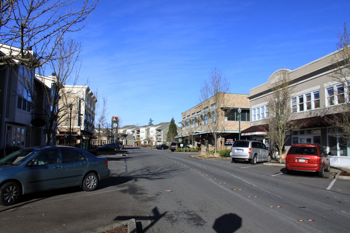
Mukilteo Speedway Center
At the southern end of Fairmount and the eastern end of Lake Serene is Mukilteo Speedway Center, a strip mall. In the past, it included several businesses including Olson’s Food Emporium as the anchor tenant. Since the mid-2000s, the strip mall has slowly emptied to the point where most of the retail space is empty. Sometimes, there are one or two homeless people sleeping in one of the alcoves. To the west, a former auto junkyard remains abandoned and graffitied. This area is a place to be redeveloped to a neighborhood center, but it has to be done correctly.
Urban Center Apartments Building C, Unincorporated North Lynnwood
While the county has zoned much of the area as an Urban Center (UC), this won’t create a walkable and pedestrian-oriented urban center which the zoning suggests would happen. For example, several of the new apartments around Ash Way Park & Ride in North Lynnwood were built under UC zoning and are poorly designed. The worst example is the unimaginatively-named Urban Center Apartments, which includes bare concrete parking podium walls facing Ash Way. The fact that this was allowed under UC zoning shows that the county’s zoning codes are far from enough to facilitate a viable neighborhood center.
Village Center, a New Urbanist development
This area can be redeveloped into a neighborhood center (given the provisional name of Southgate) by way of annexation and zoning changes by Mukilteo, combined with zoning and land use concepts based on New Urbanism. New Urbanism is a concept which includes creating livable neighborhoods by way of pedestrian- and transit-oriented designs and layouts. (To avoid the confusion of similar terms, New Urbanism is a concept related to but not the same as urbanism.)
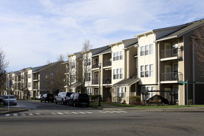
Bella Terra, an apartment complex in Village Center
Examples of New Urbanism in the Seattle area include Mukilteo’s Village Center, Mill Creek Town Center, and Issaquah Highlands. These places accommodate single-family and multifamily housing, retail, offices, and greenspace in a layout which promotes desirability, livability and walkability. In the proposed zoning map (see the Zoning section), this area has been given a special Southgate zoning designation which would be refined in the future.
Zoning
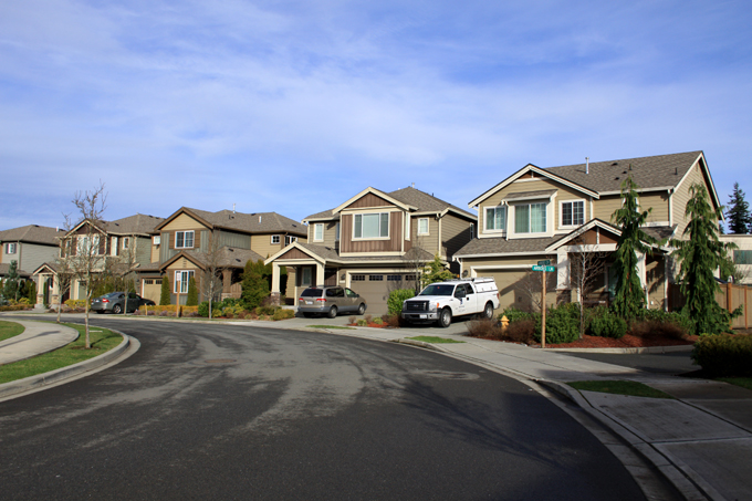
The Arbors at Harbour Pointe, a residential development next to Village Center. It was built under a planned residential development option under Mukilteo’s R-7200(S) zoning.
Unincorporated Snohomish County has differing zoning codes than Mukilteo and other cities. For example, duplexes can be built in single-family zones in unincorporated areas, but can only be built in multifamily zones in the cities. Detached condos can be built in most residential zones.
Under Mukilteo zoning, building standards are different compared to the unincorporated areas. Only single-family houses can be built in single-family zones, and detached condos cannot be built in any zone. Existing developments are grandfathered in by default, or in other words treated as legal but non-compliant. City zoning codes take greater account of a proposed development’s impacts to their surroundings, including ecologically sensitive areas and existing developments.
Section of proposed zoning map, created using Google My Maps
Unincorporated Snohomish County zoning is a hodgepodge of zones right next to each other, and much of it is because of spot rezones for lots. For example, a single parcel in a large area zoned for single-family residential could be rezoned by the county to multi-family residential, often on request by a developer. Also, the county plans to upzone several areas as part of the 2015 Comprehensive Plan update, with much of it being questionable. This clearly won’t work well nor end well.
The zoning map used for this proposal for the annexation area is partially based on Mukilteo’s 2012 zoning map [JPG, PDF], which includes the city’s visioned zoning for the unincorporated areas. In addition, this proposed zoning map takes account of current and ideal development, development potential, the locations of ecologically sensitive areas and steep slopes, and the presence of adequate transportation facilities.
Land in Picnic Point and western Lake Serene would be mainly zoned for single-family housing. Land in eastern Lake Serene would also be mainly zoned for single-family housing, with some zoning for denser houses and smaller multifamily near Mukilteo Speedway and State Route 99. This is largely the current case, but with changes to focus density in more central areas instead of spreading it out into suboptimal locations. The rezones would be a mix of downzones and upzones.
The potential Southgate area north of the SR 99/Mukilteo Speedway intersection is given a special zoning designation which would be later refined with further input. Overall, this area would be upzoned.
Much of Fairmount consists of detached condos and duplexes, and the recent construction of two large apartment complexes was not foreseen by comprehensive plans from the city nor the county. This combined with the development and layout issues of many of the newer homes means that new development should be focused more on houses. While the 2012 zoning map has the area mainly zoned for multifamily housing, new developments of this type is not appropriate for the neighborhood at this time. Some of the industrial land at the north end of Fairmount would be rezoned into residential, in order to prevent the residential area from being wedged between commercial/industrial zones, which could negatively impact livability. Overall, this area would be downzoned.
In this zoning map, the annexation boundaries used are the ones indicated on the 2012 zoning map. This minimizes any potential conflicts with other cities’ MUGAs and Paine Field, which chooses be to excluded from any MUGA. This means that State Route 99 and Norma Beach Road/148th Street SW are not included in this annexation.
This zoning map is a working document and can be modified based on comments, and on suggestions for changes and modifications.
Parks & Open Space
Picnic Point Park
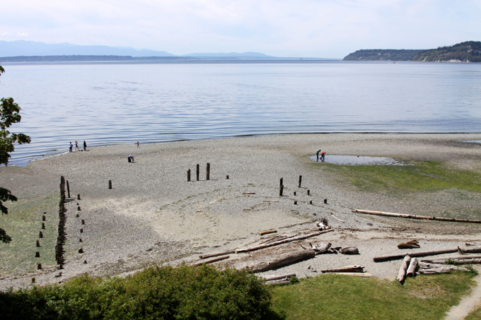
Picnic Point Park next to Puget Sound is the only public park in Picnic Point. It would be annexed by Mukilteo, but would theoretically remain under the ownership of Snohomish County. Picnic Point Elementary School functions as a semi-public park with a playground, a sports field, and a baseball field. There is a private park with a pond in the Picnic Point housing development.
There are no public parks in Lake Serene. Serene Lake Elementary School functions as a semi-public park with a playground and a sports field. The state-owned Lake Serene Water Access Site is only a gravel boat ramp, and requires the purchase of a Discover Pass to use, so it should not count as a public park.
There are no public parks in Fairmount, except for the county-owned Paine Field Community Park which is outside the annexation area. This park includes a playground, four baseball fields, and a sports field. Fairmount Elementary School functions as a semi-public park with a playground, a sports field, and a baseball field.
Lake Serene Water Access Site
Both public parks in the annexation area are on the edges of their neighborhoods, and don’t serve residential areas well. Picnic Point Park has poor pedestrian accessibility and is in a largely remote location. Paine Field Park is mostly surrounded by commercial and industrial development, and is too far from much of Fairmount on foot.
In Mukilteo and other cities, there are small parks which serve their immediate areas in addition to schoolyards, and these are placed in residential areas where they can be easily accessible on foot, especially for children. Meanwhile, unincorporated areas have few or no parks. This can be easily seen in most of unincorporated North Lynnwood, where there are a large amount of apartments and townhouses, yet there are no parks and no schools.
Parks improve neighborhood livability, provide recreation space, and limit crime caused by bored youth such as vandalism. Under unincorporated Snohomish County, the chance of any new parks in the area being built is slim to none. Under Mukilteo, the chance is much greater.
Fire

Lake Serene Fire Station
Since the previous annexation proposal was opposed by Snohomish County Fire District 1, it is important that concerns about fire station coverage are addressed. (Concerns about development have been addressed above.) In the short term, an operating agreement between Mukilteo and Fire District 1 can be made where the fire district services the unincorporated area, and the issue can be resolved with solutions after annexation. This would speed up the annexation process while keeping the current fire service system, removing any disruption to fire service. Alternatively, plans can be made during the transition period, but this could require more time.
The annexation area includes Snohomish County Fire District 1, its boundaries, and relevant fire stations. The annexation area would take up almost all Fire District 1 areas north of 148th Street SW and west of State Route 99. Lake Serene Fire Station 23 is inside the area. Since the 2006 study, Fire District 1 opened a new fire station (156th Street Fire Station 10) east of State Route 99. This station can adequately serve North Lynnwood south of 148th Street SW, as well as Lake Stickney east of State Route 99 in conjunction with Mariner Fire Station 11 in South Everett.
There are some areas adjacent to Paine Field inside Fire District 1 which are not being annexed. These areas are already far from a Fire District 1 station, and are significantly closer to a non-Fire District 1 station. The single retail building at Mukilteo Speedway and Chennault Beach Road is 0.6 miles away from Mukilteo Fire Station 3, while the closest Fire District 1 Station is 2.5 miles away in Lake Serene. The areas at the south end of Paine Field are close to the Paine Field Airport Fire Station. Otherwise, these areas can be adequately served by Fire Station 23 and Fire Station 3, and the airport fire station can provide service when necessary. A new fire station in Fairmount should be considered in the future.
Police
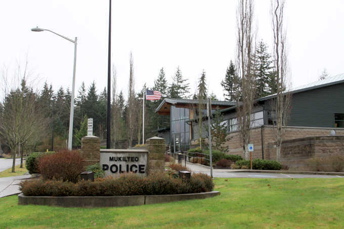
Mukilteo Police Station
One common complaint in the unincorporated area is that the county police have to patrol a large area, and as a result is spread too thin to patrol and respond at desired levels and times. With annexation, there would be more police officers per capita in the annexed areas, the currently incorporated areas should not see a decrease in police service, and county police can provide any necessary service and can patrol the remaining unincorporated areas better.
The 2006 study indicates that the Western MUGA would require a 34% increase in Mukilteo’s police force, the Eastern MUGA would require a 25% increase, and the Paine Field MUGA would require a 5% increase. These would be funded by the increased tax base from annexation. While the Western MUGA requires the largest increase in police force size, it requires the lowest number of police officers per capita. Even though this area has the most people, it is a low-crime area consisting mainly of single-family residential with households with medium and higher incomes.
The Paine Field MUGA is mainly commercial/industrial, police needs there should be relatively low, and it can be easily patrolled given is adjacency to existing incorporated areas on Mukilteo Speedway. The Eastern MUGA requires a fairly large increase in police force size due to the types of development and businesses in the area. The commercial area along State Route 99 would require higher than average police needs, but it should be noted that since the 2006 study, Honey’s strip club closed down in 2010. The housing stock has a much larger percentage of multifamily housing, mobile homes, and renter-occupied housing, and households mainly have lower and medium incomes. These commercial and residential land uses are the result of poor land use regulations.
With land use and zoning changes (see the Development & Zoning sections) combined with more localized policing, the police needs of the Eastern MUGA should decrease in the long-term. Unlike with fire stations, the location of the Mukilteo police station is a non-issue, since police officers are more often patrolling instead of waiting for a call at the station. Even then, construction of the Harbour Reach Drive extension and the Harbour Pointe-Picnic Point road (see the Transportation section) would minimize response times.
Transportation
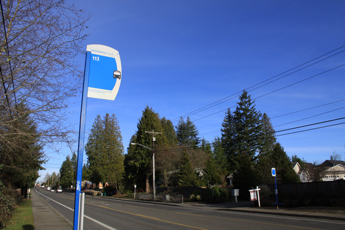
Bus Stop, Lake Serene
Most roads in the annexation area do not have sidewalks, though this also applies to most roads in incorporated Mukilteo outside Harbour Pointe. Outside of major road construction projects, new sidewalks are generally put in when an adjacent property is developed. The main focus for sidewalk additions should be on collector roads such as Lincoln Way, which has sections with no shoulders for pedestrians. Roads such as Shelby Road and Picnic Point Road should be focused on next, since those roads have shoulders which the other roads don’t have.
From Page 28 of the 2006 study, two roads are proposed to connect Harbour Pointe to the Western MUGA, while a third road project in the Eastern MUGA between Gibson Road and Beverly Park Road is unlikely to occur. The Harbour Reach Drive extension would extend the road south to Beverly Park Road at 132nd Street SW, and the right-of-way is already owned by the City of Mukilteo. Since the entire road is inside Mukilteo, it could be completed even without annexation.
The Harbour Pointe-Picnic Point road project would build a new road between Harbour Pointe Boulevard and Picnic Point Road along an existing power line right-of-way starting at Endeavour Elementary School. It would allow direct access between the two areas, without having to travel a circuitous route via Mukilteo Speedway (or Harbour Reach Drive), nor having to travel on residential side streets through Windandtide and One Clubhouse Lane (a common complaint of residents there). The road may require acquisition of parts of a few backyards.
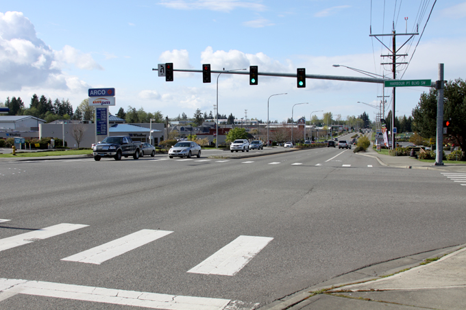
Mukilteo Speedway & Harbour Pointe Boulevard SW. The area to the right is unincorporated.
As for existing road capacity, heavy traffic appears to be only on State Route 99 and State Route 525, and this traffic is mainly from people driving through the annexation area, and not to and from it. The first two road projects can divert some traffic away from State Route 525, while the traffic issues on State Route 99 are largely outside the scope of Mukilteo.
With more residents being represented by the city (see the Community & Politics section), residents can be better able to convey opinions to local transit agencies and government for better public transportation, which can improve local mobility for residents and decrease traffic congestion. For example, the Community Transit Board includes members which represent cities.
Community & Politics
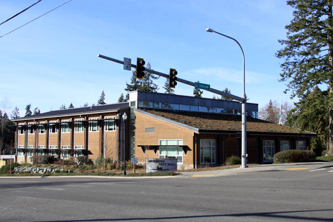
Mukilteo City Hall
With no city government representing the unincorporated areas, community concerns are less able to be heard by different politicians and government entities. There are no local mayors, councils, or committees which oversee specific unincorporated areas. Snohomish County has to govern the entire county and evaluate the needs of that entire area, while a city can govern a smaller area and evaluate needs more closely. This also mans much less representation in area government committees and boards, which often involve city representation.
For example, the issue of commercial flights at Paine Field is a controversial one in the area, given that the southern flight path travels over Lake Serene. Residents inside Mukilteo, Lynnwood, and Edmonds can be properly represented in this issue, and Mukilteo even has a budget line item for the Paine Field issue. Meanwhile, residents in the unincorporated areas can’t be properly represented by a government, and can only rely on groups such as Save our Communities.
Mukilteo and its unincorporated areas already share many community and social aspects, and these would be strengthened by annexation. One example of this are the schools. Middle school kids in the unincorporated areas attend Harbour Pointe and Olympic View Middle. High school kids in the Western MUGA attend Kamiak High, while those in the Eastern & Paine Field MUGAs mostly attend Mariner High.
School boundaries are independent of city boundaries, and if Mukilteo considers wanting high school kids in the Eastern & Paine Field MUGAs to attend the same school as those in the rest of the city, a separate movement would be necessary for that.
Taxes
Under the default conditions, total taxes under the city would be lower than under unincorporated Snohomish County, and since the tax revenue stays local the money is reinvested in the neighborhood and city, instead of in other parts of the county. This has also been the case in other annexations.
One idea to improve the unincorporated areas to standards found in Mukilteo at a faster rate, a short-term tax increase can be evaluated and applied to these areas, and this increase should still result in overall lower taxes compared to under unincorporated Snohomish County.
That said, in the unlikely case that taxes under the city are higher than under unincorporated Snohomish County, the higher taxes come with better services, a government more aware of local issues, and numerous other benefits described previously.
Annexation Methods
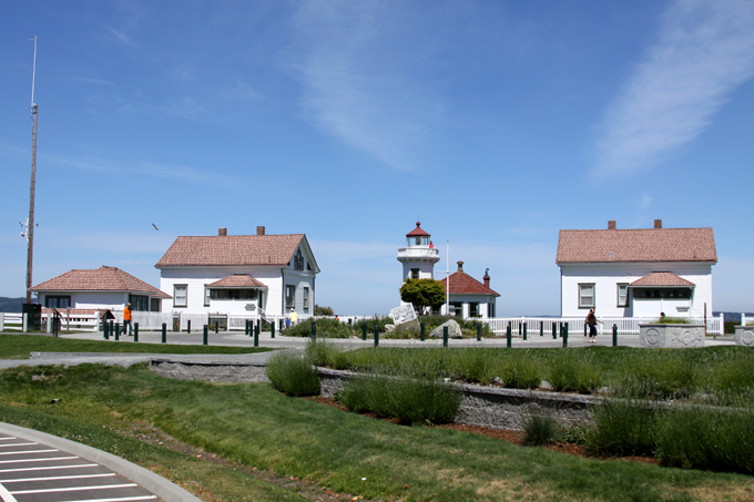
Mukilteo Light Station
There are five methods of annexation, and three can be feasibly used due to the size and location of the annexation area: the Election Method, the 60% Direct Petition Method, and the 50%/50% Direct Petition Method.
Mukilteo’s past annexation efforts involved a City Council-led election method. The election methods (either 10% of voter-led or City Council-led) would require a majority vote of people in the annexation area to approve. The main advantage is that the annexation issue can be decided on by simply adding the issue to ballots and mailing them to area voters. The main disadvantage is that waiting to vote for annexation until an August primary or November general election lengthens the annexation process, which can mean more time for livability issues to occur and potentially grow.
The direct petition methods (either 60% of assessed property or 50% of voters & 50% of acreage) would require signatures from the respective percentages necessary, and this means canvassing the neighborhoods. That can take a long time. Additionally, because these methods require signatures from property owners, it can be an issue getting signatures from owners who aren’t living in the area, such as business owners and “absentee” landlords. The only advantage of this method is that if the requirements are met in a relatively short amount of time (which is unlikely), then it could be a faster method than a direct vote.
It’s always good to have a backup plan, and if the annexation process takes a relatively long time, residents should take their concerns about land use to the county. Since the county currently controls zoning in the unincorporated areas and is currently working on an update to the area’s zoning, advocating for the zoning changes on the proposed city zoning map would be beneficial to the livability of the area.
Conclusion
If you live in unincorporated Mukilteo and want better development, better zoning, more parks, more fire and police service, better local transportation, better community and political representation, and lower taxes, you should support annexation.
If you live in unincorporated Mukilteo and want your neighborhood to improve for the better, or at least don’t want the neighborhood to risk going into decline, you should support annexation.
If you live in Mukilteo (especially Harbour Pointe) and want the adjacent unincorporated neighborhoods to improve for the better, or at least don’t want them to risk going into decline, you should support annexation.
If you don’t support annexation, take a drive through parts of unincorporated North Lynnwood and South Everett to see the results of improper land use. Instead of denser development located around centralized human-scaled neighborhood centers, denser development is spread out into places with inadequate transit and public amenities, and into single-family neighborhoods where many residents don’t want it. “Neighborhood centers” are strip malls and supermarkets. Particularly in North Lynnwood, there are a lack of amenities for local youth, and a lack of parks for anyone in these areas.
In the worst cases, instead of more livable mixed-income neighborhoods, there are lower-/middle-income neighborhoods with the typical negative attributes attached to them. Areas arguably zoned for multifamily too early end up having large percentages of older low-rent housing, and those and the remaining houses become devalued and distressed due to low desirability. Crime-generating properties such as massage parlors and motels sit near homes. Rundown trailer parks known for crime and social issues are protected from redevelopment by county mobile home zoning. Gated apartment and townhouse complexes in these same areas fence away residents from the crime and social issues, weakening community cohesion and livability.
Read through this recent Everett Herald article (Project 99: Problems along road are more than police alone can handle, November 16, 2014) describing some of the drug issues in the unincorporated areas between Lynnwood, Mukilteo, and Everett. While it focuses on drugs, there’s a clear pattern to the locations of these drug issues. Due to lack of sufficient code enforcement, homes are allowed to become distressed to the point where they risk becoming drug houses or other problem properties.
Now imagine this stuff (or more of this stuff) in your neighborhood. Have you changed your mind now?
It’s time for unincorporated Mukilteo to stop being unincorporated. The longer we wait, the more we could suffer.
Nathaniel Williams,
Lake Serene
Links
- Mukilteo Municipal Code – Codepublishing
- Annexation – City of Mukilteo
- Annexation Boundary Map – City of Mukilteo
- Economic Development and Annexation Study – October 2006 – City of Mukilteo [PDF]
- Economic Analysis – Phase II – December 2007 – City of Mukilteo [PDF]
- Economic Analysis – Phase II Update – May 2008 – City of Mukilteo [PDF]
- 2012 Zoning Map [JPG, PDF] – City of Mukilteo
(Please email if you have comments, suggestions, and/or modifications.)
Great analyses. Couldn’t agree more.